August 7, 2021 – 16.25 km
Hot, muggy, windy. Summer temperatures in Saskatchewan have been brutal this year (by Saskatchewanian standards) and I was looking forward to the cooler temperatures in Newfoundland. Unfortunately Newfoundland has this thing called humidity, not a good acquaintance of mine, seen ’em once or twice, so the temperatures won’t be as refreshing as I had expected. I expect to be doused with plenty of refreshing rain though.
My plan before starting the ECT was to take a taxi to its northern terminus at Topsail Beach, so I looked through some Yelp reviews to try and locate the best company. What a rabbit hole that was. It was a bizarre mix of people complaining about cabs almost hitting them, drivers swearing at them, or drivers trolling them about their computer screens in high school. Actual quote from one of the few positive reviews: ‘For one, I’ve never been hit by one of these cabs….’ That’s a low bar. That’s a really low bar.
I decided to leave the selection of company up to fate (because they all seemed equally terrible) and asked the hotel to call me a taxi. The driver was one of those ‘you’re going hiking by yourself??’, ‘If it’s too hard for you….’ types. Should I make a Yelp account?
Topsail Beach is a scenic pebble beach. I stopped to admire the view for awhile and reorganize some of my gear. I’m not trying for a new FKT, here.
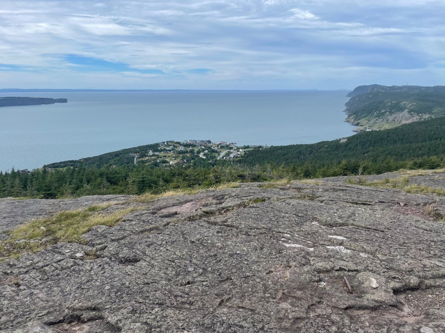
The trail entered the woods right away, surfacing at occasional viewpoints. I met a day hiker walking with his dog and we hiked together until noon, getting lost repeatedly on roads and in towns. The day hiker told me that as a Newfoundlander, he abides by the policy of always heading downhill to never get lost, but while we weren’t stranded in the middle of a wood somewhere, we weren’t on the trail either. Finally I decided that ‘it’s probably this way’ is a bad policy compared to looking at maps and trying to figure out the proper route. I found that the ECT maps are extremely helpful, particularly the guidebook content printed on the back of them, which provides detailed descriptions of the town walks.
I stopped for a break at a viewpoint overlooking Port Philips. The day hiker left me with his contact information and a warning about Newfoundland’s weather. I previously had a vague idea of ‘rainy’, ‘windy’, ‘tunneling out from door in winter’, but he emphasized just how miserable the weather can be. I’m ready for you, Newfoundland weather!! I have both a rain jacket and a poncho!! Come at me!!

Continuing my walk, I reached a steep section of trail that involves scrambling down into a cove and up again with the help of ropes. It’s the type of thing that doesn’t bother me when I’m day hiking but feels awkward with a backpacking pack.


People were sunbathing at the appropriately named Beachy Cove, which also has a waterfall. After a short section of roadwalking, I started the climb up to Prince’s Ridge. The slopes halfway up were glossed with raspberry bushes. Ooh I had read that there were blueberries on the trail but I wasn’t expecting raspberries! I joined a pair of pickers in sampling them.
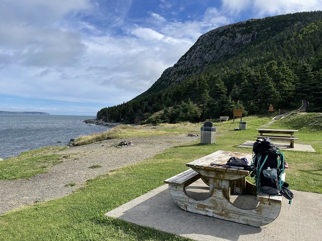
I noticed a good campsite at ~14 km, off trail and low impact, but I wanted to go further today. The terrain is supposedly difficult tomorrow (more rope scrambling) and it’s supposed to rain, which could mean slippery footing. I continued along the ridge to Prince’s Lookout and found a sheltered campsite in the woods in that area.
Today’s trail distance was 16.26 km. My actual walking distance was 18.1 km (due to getting lost).
