Sunday, November 27, 2016 – 14.58 km
My last day on the Heysen! The sky was sunny and I was feeling better than yesterday. I was planning to have breakfast at the Cobbler Creek picnic area, then realized that the picnic area is on an alternate route, so I ate on a random bench overlooking the sea instead. Cobbler Creek Campground looked nice – I noticed that one of the spots had been raked, so maybe it gets more attention than Tapanappa – but it’s a frontcountry campground with vehicles and noise. Eagle Waterhole is my camping recommendation in the conservation park.

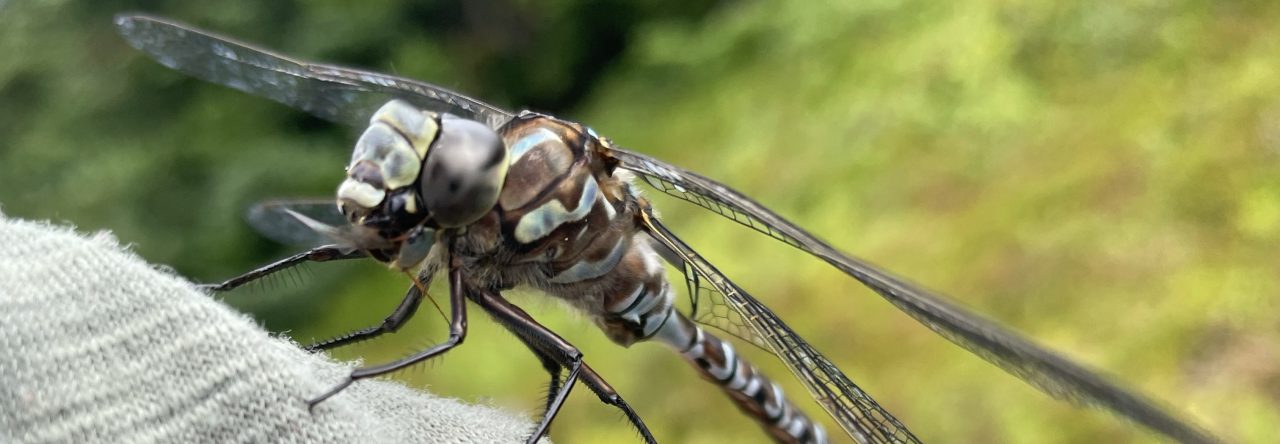
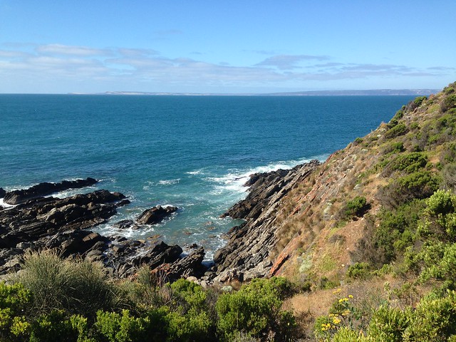
Signage at the campground said that people can swim at Blowhole Beach, and I saw some surfers having no luck in the small waves, but a stream on the beach looked polluted and the rocks where it emptied into the sea were coated with algae. Blowhole Beach was pretty to look at though, and I took a break on a bench overlooking the sand. The wind was strong but its direction has changed and it feels milder than before, though still cool. I encountered a shingleback that didn’t move when I approached but flinched in a gust. Poor thing, and I told it so in a baby voice (sadist).
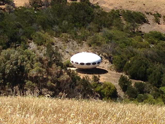
A Futuro House is visible from this section of the Heysen. I recommend checking out the Wikipedia entry about Futuro Houses, it’s an interesting story.
I didn’t have a definite plan for what to do at the end of the trail. The only bus to Adelaide is at 9:30 AM. The caravan park is 3 km from the end of the trail, plus it’s on a station (ranch) and I’ve spent way too much time on station land on the Heysen! I knew however that the last part of the Heysen from Talister Road to Cape Jervis is on ‘vacant land’, which presumably means that it’s okay to camp there, and I figured that I could buy food in town and return to the trail for one final night.
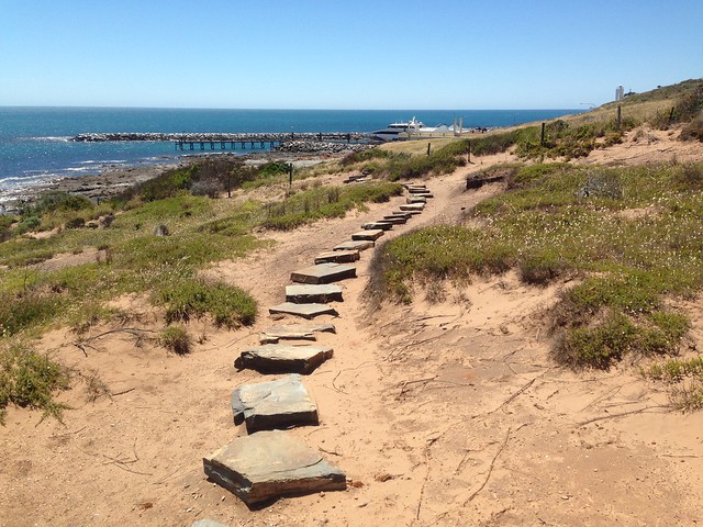
Upon reaching the vacant land, I was pleasantly surprised to see attractive dunes and native shrubbery. My one-final-night plan was looking better with every moment. Then I passed Trig Point, about 2 km from the end of the trail, and the land was ugly and cleared from there to the ferry landing. My basic sentiment was ‘screw this, I’m going home’.
I walked into town, took pictures of the HT terminus sign, felt too tired to walk more and ended up getting a motel room at the tavern/shop/motel/gas station.

So here I am – done the Heysen. Right now I just feel relieved since the last week has been difficult with being sick. I’ve had enough farmland and roads as well, and while I will miss hiking every day, I don’t think that I’ll miss the Heysen. Parts were beautiful, parts were historically interesting, and most of the trail towns were awesome with the friendliest people, but there wasn’t enough nature. Some former thru-hikers were quite critical in the last logbook, stating that it seemed like someone just wanted to make a long trail at the expense of quality, but I think that’s overly cynical. There’s a certain romance in walking from the Flinders Ranges to the ocean, and rewarding sights along the way. It’s just that there are many subpar areas as well.
Regarding the issue of ‘trail’. I agree with the logbook comments that this shouldn’t be called a trail, since hikers are following fences or streams or roads most of the time. One former hiker suggested that it should be called a ‘way’. I doubt that converting the HT to single track is on the radar for the Friends, considering how much work that would be and the issue of property ownership, but something that would be nice (along with making any future tent platforms bigger) is if more of the trail could be cross-country rather than following fences. That would elevate the experience while not requiring the actual building and maintenance of a trail.
