Saturday, October 08, 2016 – 5.72 km
The Heysen website claims that the distance from Bowman’s Hut to Crystal Brook is 5.72 km, but it seemed shorter. Maybe it’s 5.72 km to the other end of town, where the Heysen leaves.
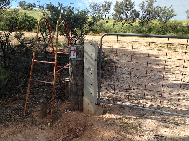
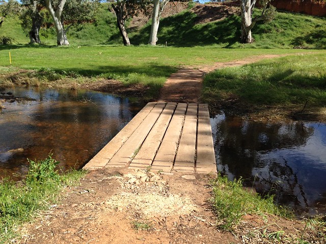
After some road-walking, the HT turned onto a golf course and meandered across it to the Crystal Brook caravan park.
I’m going to stay at the pub where I left my bounce box, but I wanted to see whether I could do laundry at the caravan park, so I went to the office to check it out. The ship was unmanned, so I decided to come back later. Or tomorrow. Or whenever else I muster enough energy for the act of returning somewhere.
The tragedy of today was that I somehow lost my map sheet 5, which covers the trail up until Spalding (four days from Crystal Brook). I have a GPS, but I use it and the maps for different things: the maps I use for a general understanding of terrain and where the trail is going, and the GPS I use at regular intervals to confirm that I’m still on the trail. If I got lost, I would use the GPS rather than the maps, so I don’t expect to become horribly lost without map sheet 5, but will the Heysen still be as fun when the maps aren’t attempting to mislead me about whether or not something is walking trail? It’s like when an annoying child is hanging around, then it leaves and you realize that it was actually kind of cute…
