Thursday, May 09, 2019 – 12.30 miles
Another windy night, though at least the wind died away in the early hours of the morning. My tent did well despite the pole needing readjusting, but everything inside was covered with a layer of fine dust since I began the night with the doors open.
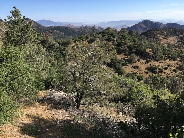
All of the PCT hikers who started from Highway 58 yesterday must have camped at Golden Oaks Springs or further along, since the trail was deserted today. Golden Oaks Springs was trashy with the empty bottles of a small water cache. It’s a questionable place for a cache, the spring being classified in eTrails at least as a reliable source. If the idea is ‘in case the spring unexpectedly dries up’, I get that, but unfortunately some hikers will use caches at still-flowing sources to avoid filtering water, so inevitably any water left at one of these sources won’t end up in the hands of people who actually need it.


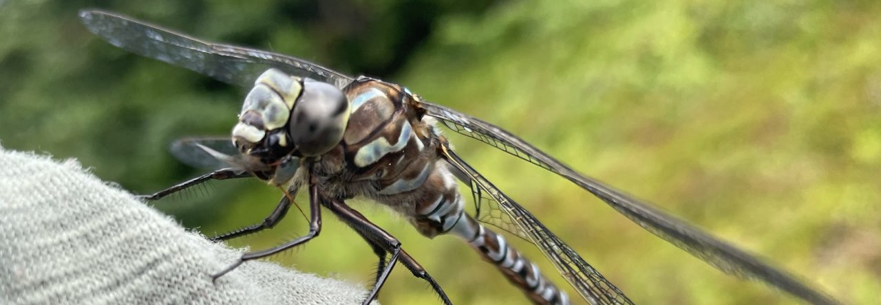
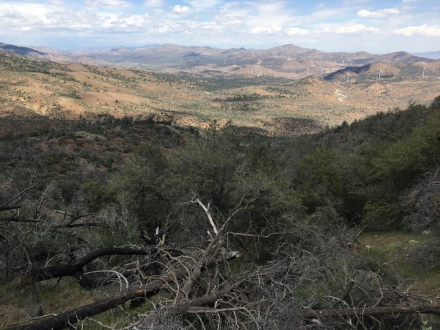
Soon after leaving the wind farm I started smelling pot, but rather than other hikers, the source was a poodle dog bush! Poodle dog is a notorious fire-follower that can cause skin irritation/blistering and at one time seriously infested areas of the PCT. There’s an infamous story about two hikers who smoked it, thinking that it was pot, and had to be taken to the hospital. This poodle dog is the first I’ve noticed during my hike, but never having seen it before, I definitely could have missed some. The smell helps – it’s exactly like cannabis.
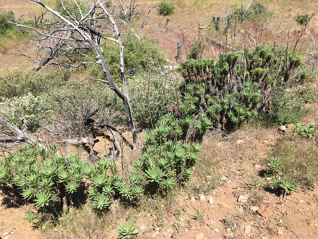
Private land infests this section of trail and camping was problematic. Expecting bad weather, I needed somewhere I could pitch my tent. eTrails mentions several places where private land begins, but doesn’t specify where it ends, and its maps don’t indicate that either. Along the trail are easement markers where private land starts (they state that the easement is only ten feet wide) but none where it ends. The paper maps might have been more helpful, but because of my decision to flip, my paper maps for this length of trail are stuck in my bounce box in Wrightwood. eTrails is pretty good about not listing illegal campsites though, so I thought that Hamp Williams Pass might be a viable option, eTrails mentioning that camping was available there. It wasn’t clear whether or not the pass was on public or private land, since eTrails mentions that the land beyond the following road is a private land easement, but doesn’t state when or whether the last easement ended or whether they blend together into one evil just-try-to-LNT-while-camping-within-5-feet-of-the-trail block.
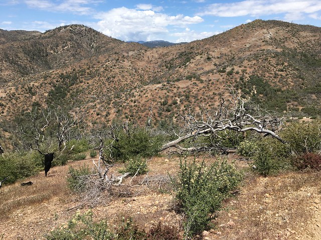
I reached the pass. No established campsite, no signs of anyone ever having camped there. Very dodgy. Hearing noises above the trail, I climbed up the hillside, thinking that perhaps it was another hiker who had more information. It was a cow. NOPE. The next campsite listed by eTrails was in the Sierra National Forest so definitely legal, but more than five miles away with decent elevation gain. I started in that direction, but quickly gave in to common sense and decided to backtrack (THE BLAZES) to the last easement marker. The eTrails description for this marker includes: ‘After a brief stint in BLM land with no camping opportunities, top out your climb and reenter a cool forest of Jeffrey and ponderosa pines and black oak’ so I knew that there was at least some BLM land beyond the sign. eTrails doesn’t indicate where the BLM land starts, so it could be a mile of BLM land, half a mile, two metres, whatever. I wasn’t bothered by the ‘no camping opportunities’ because usually those classifications are directed towards people with standards.
Near the easement sign I found an acceptable albeit sloping campsite in the bushes below the trail.

