Tuesday, February 19, 2019
Pre-concluding thoughts, I’ll note that my phone still works five months after falling into the stream. The external battery started working again too. Don’t give up on your wet electronics!
Northern half of the PCT in general: It’s a beautiful trail. I was impressed by the overall consistency of good scenery, plus the absence of livestock droppings (A++++++++). Being used to long trails with hardly any people, the PCT felt busy, and there was always a strong presence of ‘trail infrastructure’ in the form of shuttles, trail angels/magic, hiker boxes and other town perks. It’s not a crazy adventure, it’s not a trail that you battle with your wits, but it’s gorgeous, honey.
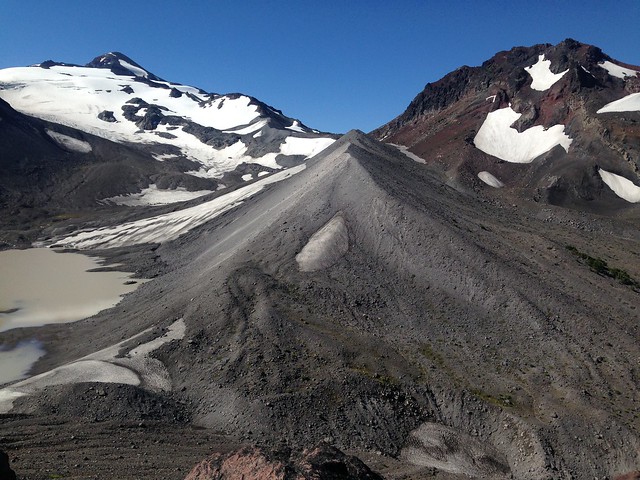
Favourite part: The Three Sisters area in Oregon! The volcanoes were bizarre, the lava was lava, and the view from the Collier Glacier View side trail was my favourite from the entire hike. I met people who skipped Oregon. Don’t skip Oregon.
Favourite rest stops: In my opinion and from order to south to north, the locations with the best hiker facilities were Seiad Valley, Shelter Cove, Trout Lake and Stevens Pass (with the exception of the terrible Wi-Fi at Stevens Pass, but the Mountaineers Lodge is amazing). My favourite town overall was Cascade Locks. Avoid purchasing supplies at Elk Lake or Stevens Pass. Don’t leave food or gear in the main bear box at Mazama Village. Future hikers considering where to resupply should check out the yearly Halfway Anywhere surveys.

Irritants on the PCT:
I overheard a conversation at Crater Lake that went like this:
Boy #1: Come on, let’s go.
Boy #2: That way is longer.
Boy #1: But there are fewer bugs. Walk strategically! (I want this to be my motto from now on.)
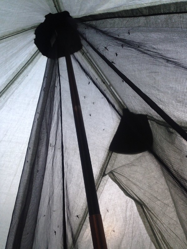
The mosquitoes were really, really bad from Fish Lake to Elk Lake. My bug suit worked fairly well, at least well enough for me to never purchase DEET, and the suit + gloves + pants + rainjacket formed an impenetrable barrier. The season is obviously a huge factor in how many mosquitoes you encounter in various places, but if I had to rate the worst mosquito zones I encountered on a scale of 1 to hell inferno, here are the ratings:
Sky Lakes Wilderness: 8
Diamond Peak Wilderness: Hell inferno
Three Sisters Wilderness (pre-Elk Lake): 7
Pamelia Lake Limited Entry Area: 6
A few areas had thick or evilly concealed poison oak. The nice thing about poison oak is that once you know what it looks like, it’s easy to spot and avoid wherever it’s exposed. Erm, unless it’s been cleared by the hand of God, don’t wear shorts in Grider Canyon.

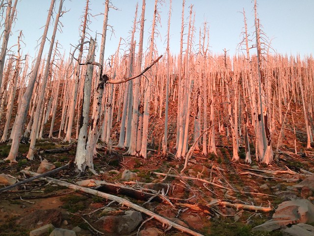
The worst irritant though was definitely the smoke. In Washington, I had smoke for weeks on end. An N95 mask helped with the smell and my cough, which may or may not have been caused by the smoke but was definitely aggravated by it. They’re easily destroyed via squishing, so I recommend bringing multiple masks if you decide to carry them.

Gear: See the notes on the mosquito suit and particulate mask above. I’ve been using the same backpack, stove, filter, etc. for a long time, so there were no surprises. I’m not going to recommend items other than the #peesak because the Internet already contains more recommendations than anyone could read in a lifetime. I will mention that numerous tiny holes appeared in the roof of my Altaplex, so I would recommend that potential Zpacks buyers consider the thicker cuben fiber.
As for clothes… my clothes selections were new. They were not good. The pockets in my pants were too few and too shallow (ref. phone falling into the water and onto grass and anywhere else it had the opportunity to fall out). I also had a ridiculous problem with my bra, which was the type that comes with a built-in hook for converting it to racerback style. Sometimes when I removed my Exos, the hook would get caught in the shoulder strap through the fabric of my shirt, making me scrabble around with my pack partially off. Luckily, no other hikers ever witnessed this. Note and avoid.
PCT terrain: For people with foot/ankle issues, see the below examples of rocky stretches of trail. These aren’t a representation of the trail on average; they show the rockiest terrain that I encountered.


Navigation: Navigation was usually just a matter of choosing the correct trail at a junction. In Northern California, there were junctions with downed signage or missing signage, so maps or GPS were necessary. I met multiple people who took wrong turns and got off-trail. In Oregon, there weren’t signage problems but the trail was indistinct in some of the burn areas and difficult to follow. I also met people there who got off-trail. Ultimately, it’s hard to get lost if you bring maps/GPS.

Fear of heights: I’m afraid of heights in an average type of way. I was bothered by only two spots: the Packwood Glacier section near the Goat Rocks (crumbly trail on a slope) and the section coming into Hart’s Pass (the footing was fine, but the sheer quantity of sloping ledgey trail eventually got to me).
Feel free to contact me with any questions, and see you in the spring!

